
GIS modeling in FlexSim
- David Chan
- Nov 8, 2021
- 1 min read
GIS stands for Geographic information system. It is a conceptualized framework that provides the ability to capture and analyze spatial and geographic data. GIS applications (or GIS apps) are computer-based tools that allow the user to create interactive queries (user-created searches), store and edit spatial and non-spatial data, analyze spatial information output, and visually share the results of these operations by presenting them as maps.(https://en.wikipedia.org/wiki/Geographic_information_system)
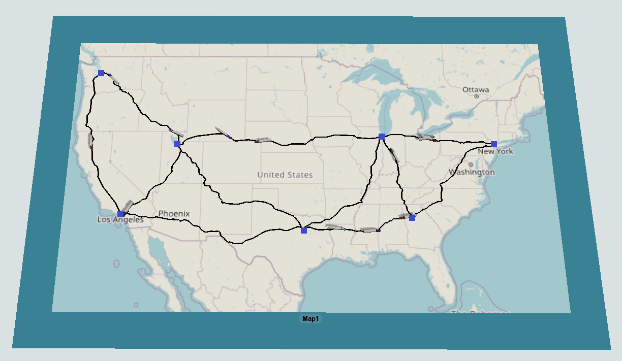
Such modeling and analysis provided by FlexSim are mainly for
Analysis of cost for moving commodity from point to point. It can be by air, sea and land.
Route planning and optimization for the supply chain management
As the cost of fossil and natural gas form of energy is getting more expansive in the coming future, the planning and management of the route for the fleet becoming more important. Not only domestic but also inter-continents. The question of how do we able to optimize the supply chain in terms of warehouse location and transportation has become the key in winning the competition in the supply chain.
By using FlexSim, you can run unlimited number experiments to determine the location and the number of warehouse and the number of transportation and the routes. Having such foresight of the situation, not only we are able to reduce the time to deliver but also the price tag to deliver.
David


Comments